Showing posts with label Maps. Show all posts

Thursday, 9 November 2017

The TooFatLardies Oddcast: number two - The Roadtrip to Crisis, Antwerp 2017


Another quick Blog post today to let you know that on the road to Antwerp to attend the Crisis 2017 wargames show, I got to record the second second "TooFatLardies Oddcast" with my good chums, Richard Clarke and Nick Skinner.

You can find a link to the podcast HERE.

The sound quality isn't perfect, as we were driving through Belgium at the time, occasionally swerving and braking to avoid a variety of other road users and confusing Belgian road-signs.

The subject we talk through in detail is battlefield walking - which battlefields to choose, what to prepare in advance, whether to visit alone or in a group, books and maps to read up on the battlefield, how to record your visit, and how to translate the findings from your visit into wargames rules and tabletop scenarios.


We go through an extended "What's in the Workshop", and talk through several book reviews.  The books we reviewed were a selection from the First World War and Second World War, all with a Flanders theme:


Hope you enjoy the podcast!

Sunday, 10 July 2016

Roundwood Recommends - Number 6: Holiday Painting


Like everyone I know in the hobby, I really struggle to maintain a consistent painting schedule. Work, family, travelling, doing stuff around the house and garden … everything seems to get neatly coordinated to prevent me sitting in front a table a picking up a paintbrush until 11pm at night. Yes, I know that you know that feeling.

One of the best things about holidays is taking a paintbrush and some paints and figures. Tricky, but not impossible, if flying, but certainly possible if you’re heading anywhere by car. Part of the trick is getting prepared in advance.

I picked up a sturdy deep box from Paperchase, and kitted it out with an off-cut of blue Styrofoam to hold the Vallejo paints downwards with. I blu-tacked the brushes to the lid of the box and added a few other bits and pieces like a palette and brush cleaner. 


A while back I’d picked up a Foldi Daylight lamp which gives out a great daylight LED light to paint with and is powered by AA batteries (and cost about £60). OK, not cheap, but a pretty good investment if you’re painting on the go a lot. A long time back I’d also picked up a magnifying glass which you can dismantle and fold away and can be easily packed away in the painting box.


I fitted a handful of 28mm figures into a separate box – more late 17th Century militia – and I’m all set. I’ve no idea how many I’ll get through, but I’ll let you know!


When I can’t manage to carry paints – such as on an overnight business trip – I try and carry a notebook, some pens and pencils. I’ve loved making and drawing maps for years. Some of them historical, some not. I like dreaming up scenarios, battles and campaigns – some of them even get played! Just as with a blog, I write down the games we’ve played, the ideas that come to you at odd times of the day, and the plans that just about every wargamer enjoys making. Notebooks are a great way to stay in touch with the hobby, even if you have zero time. 

Just five minutes colouring in a map takes you to a 17th Century Italian valley, the Free City of Bravos, the Acheron IV meteor cluster – or wherever, or whatever, you enjoy.


They’re fun to look back through. Not as polished as a computerised map. A lot less printable. But a lot more personal. 

Holiday painting. Very strongly recommended, whichever world you’re visiting this summer.

Saturday, 11 February 2012

Mapping the Past

Like most wargamers I’ve ever met, I love maps. There’s something about looking over a map, particularly one which is authentic and historical, and wondering what would you do if your battalions were marching on that small town, passing those woods – would they be trapped at the ford, would your enemy be waiting on the wooded hillsides in ambush? I’ll wager you’ve spent a lot of time looking at maps (or star-charts, or dungeon plans, or whatever) with the same thoughts in mind.

Another of the great pleasures of playing wargames is fighting tabletop battles over actual terrain. There’s something about fighting a game, or a campaign, over ground which you know, which you’ve visited and which you can take a photograph of before or after the game.

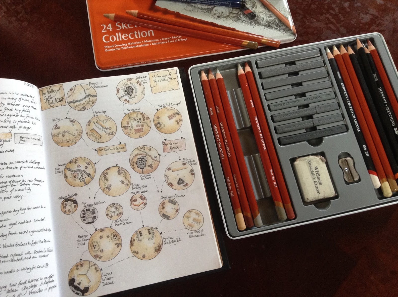
But what happens if the period you’re fighting in has no maps available? The simplest thing is to make your own. Perhaps even more than looking at maps, I’ve love making them for years, usually in the notebooks where I’ve recorded the battles, campaigns and ideas about gaming. It’s old fashioned, takes a while, but when you’ve made the map and also fought over it, it becomes a real part of the memory of your games, just as much as any photograph can do.


But making decent maps always seems to me to take a fair amount of time, and of course sometimes the map you make just doesn’t work in a game. They can either be too detailed, or not show the right sort of detail or perhaps the geography is just wrong (why is that cliff there, and where does that river flow to?).

As readers of this Blog and Lard Island News will know, the current interest at Lard Island is the Dark Ages. I really thought that mapping out the Saxon Shore was going to force me to get my edding profi-pens and water colours again until a fantastic post appeared from Allen Curtis on the TooFatLardies Yahoo Group. Allen posted a link to the Ordnance Survey map of Roman Britain which is available online in segments here.

I can do no better than to repeat Allen’s description of the map: “As this edition was first printed in 1928, it shows place names that have been changed in subsequent editions to reflect academics' current views. But the map's sheer size, as well as the style of presentation, makes it a marvellous thing to behold.”

Here’s part of the map from Eastern England, which covers St Albans and much of modern day east Hertfordshire and Essex perfectly.


And here’s part of the most northern segment of the map, covering the Antonine Wall. To my mind, few maps, if any, convey such a sense of frontier and wildness as this one.


I’m hoping the Ordnance Survey maps of Roman Britain will be much in use in our games over the weeks to come. And, I hope also in your games. And even if I feel like making a smaller map, having the larger one available online and in very subtle muted tones will be a great reference point and inspiration.

Thanks again to Allen for this find. Now, off to finish my mercenary Anglii (or Angles, or Angels), which I’m hoping will be the subject of my next post. Have a great weekend until then!
Related Posts Plugin for WordPress, Blogger...